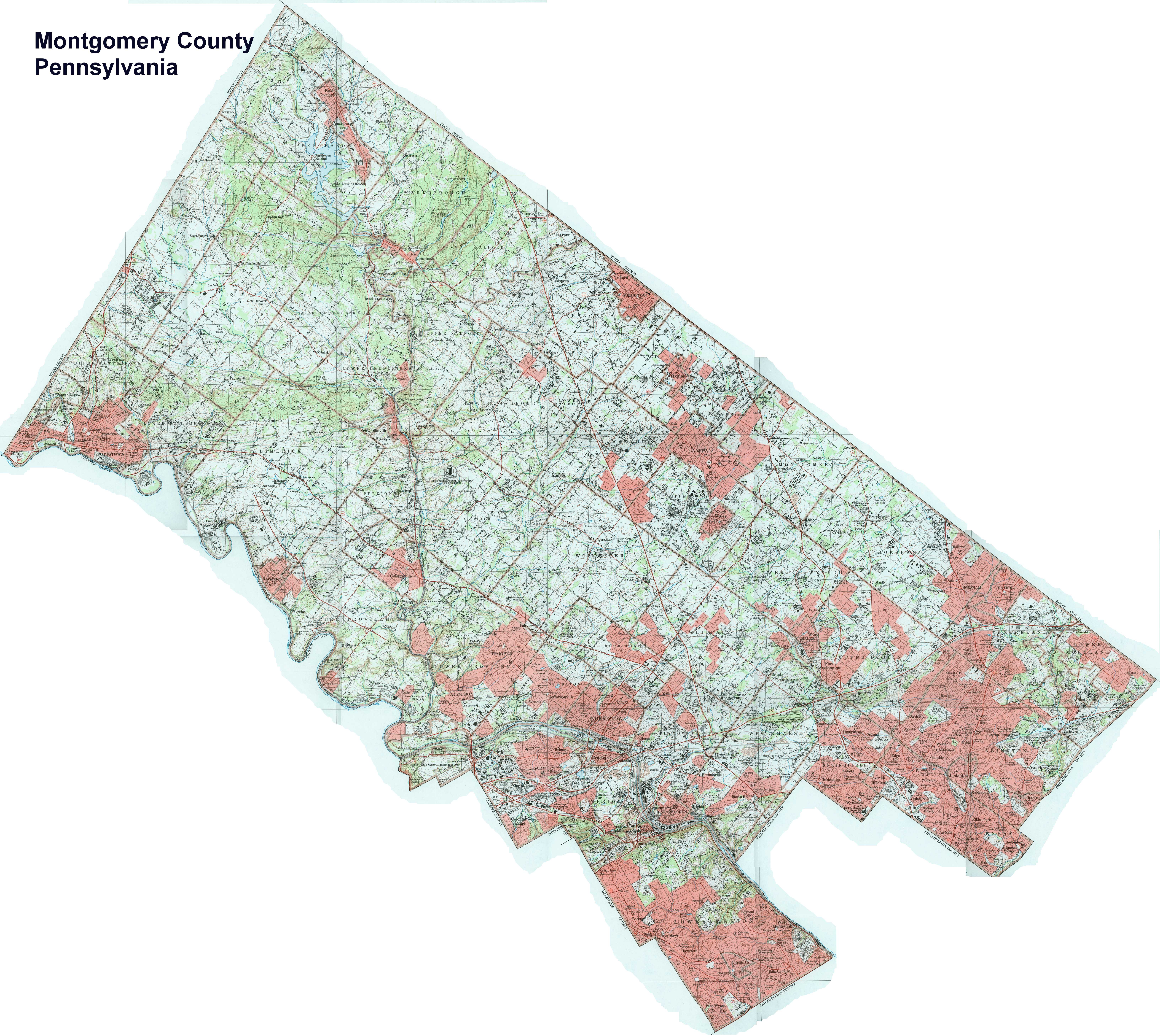
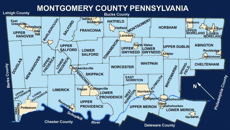
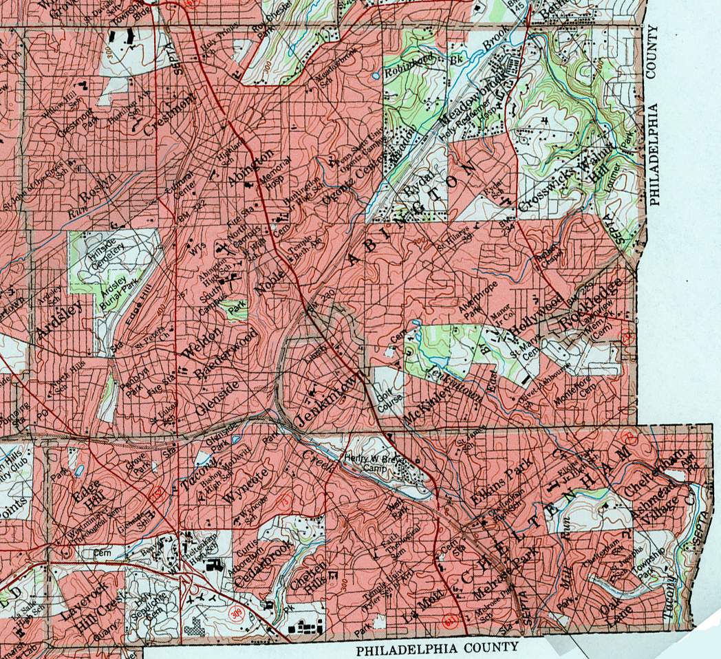
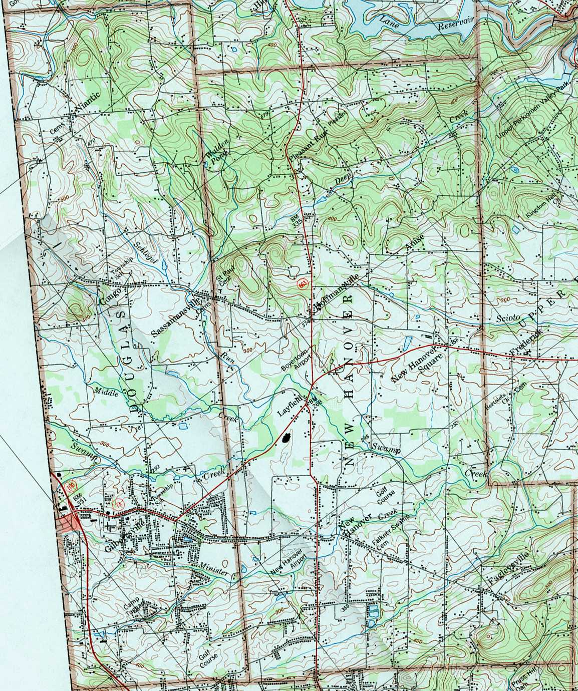
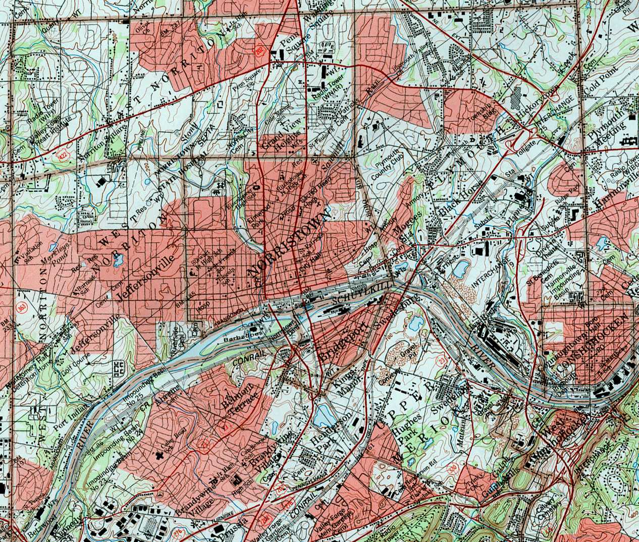
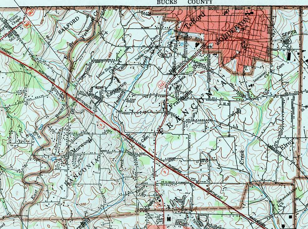
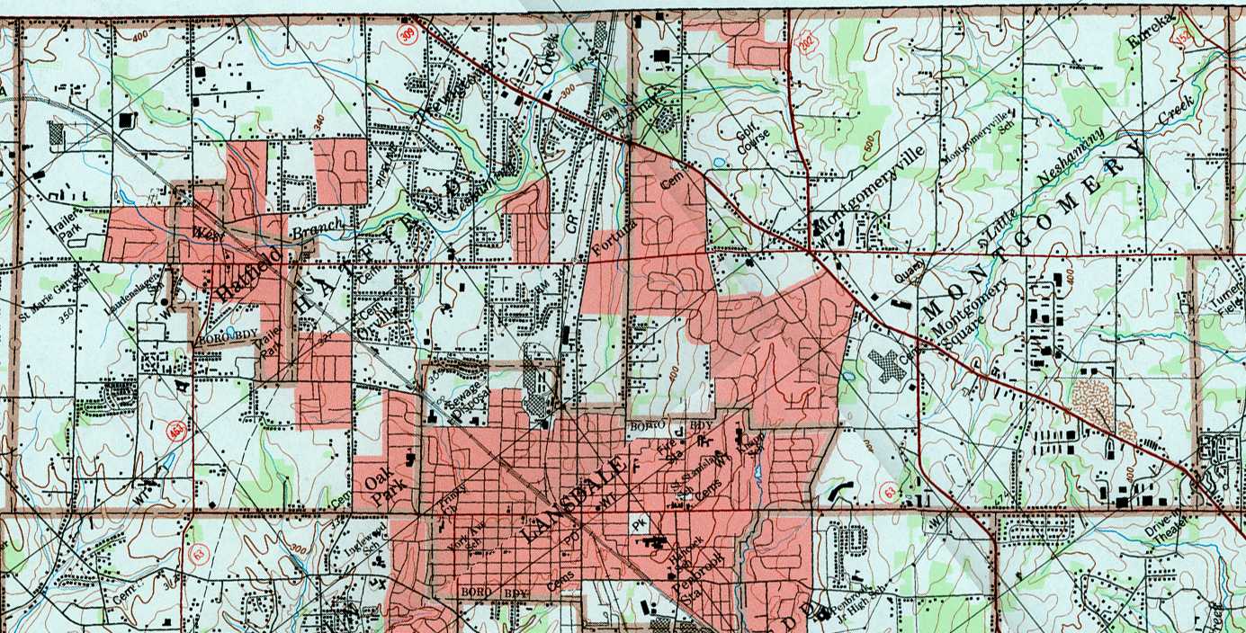
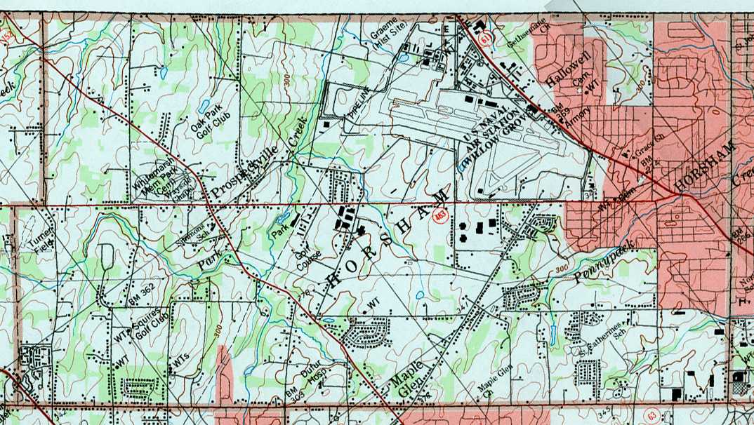
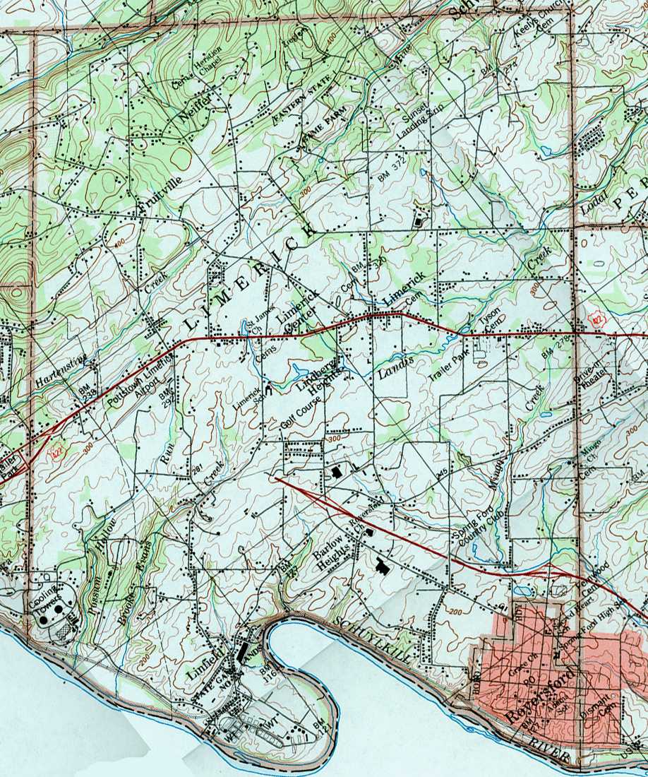
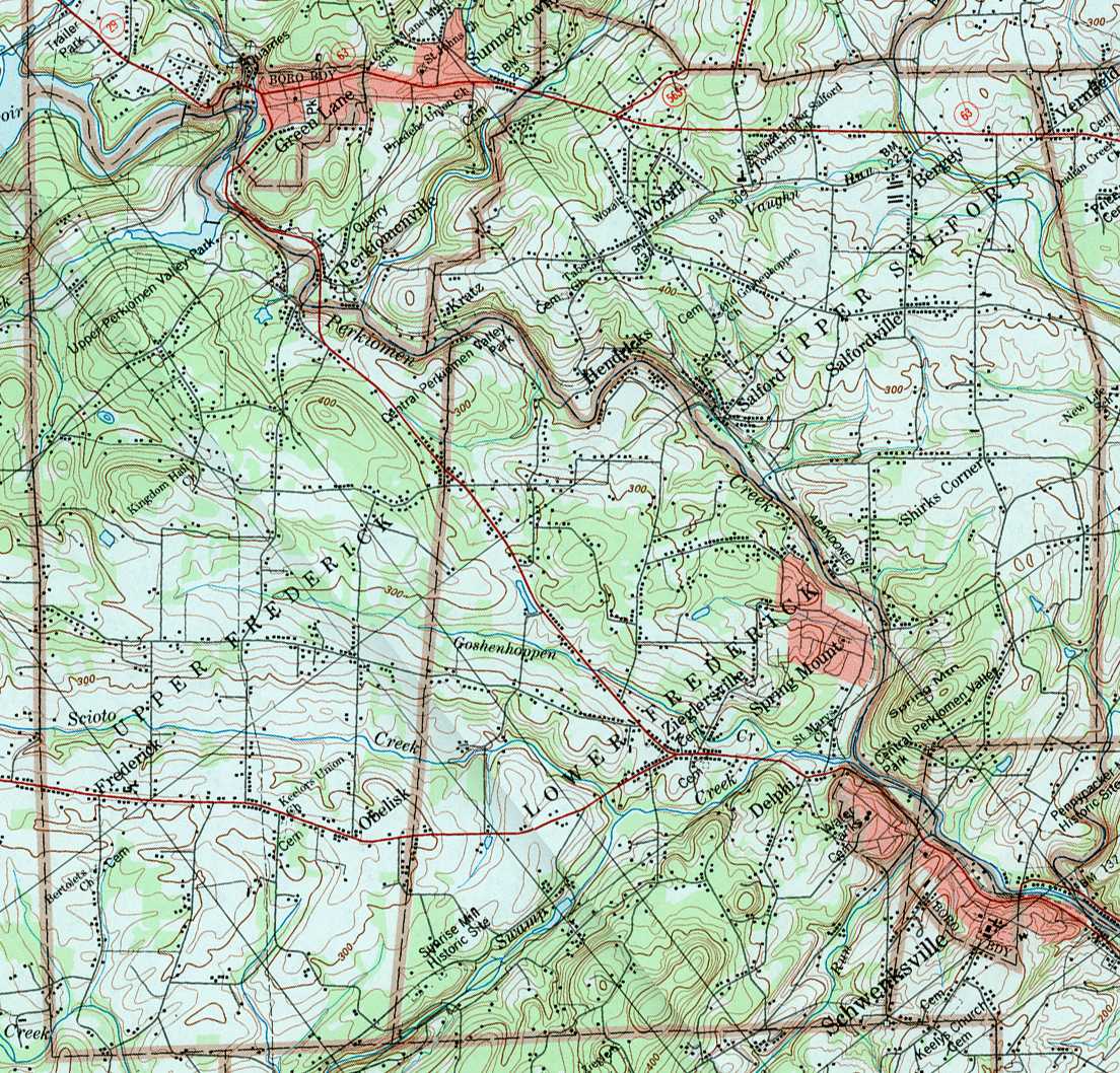
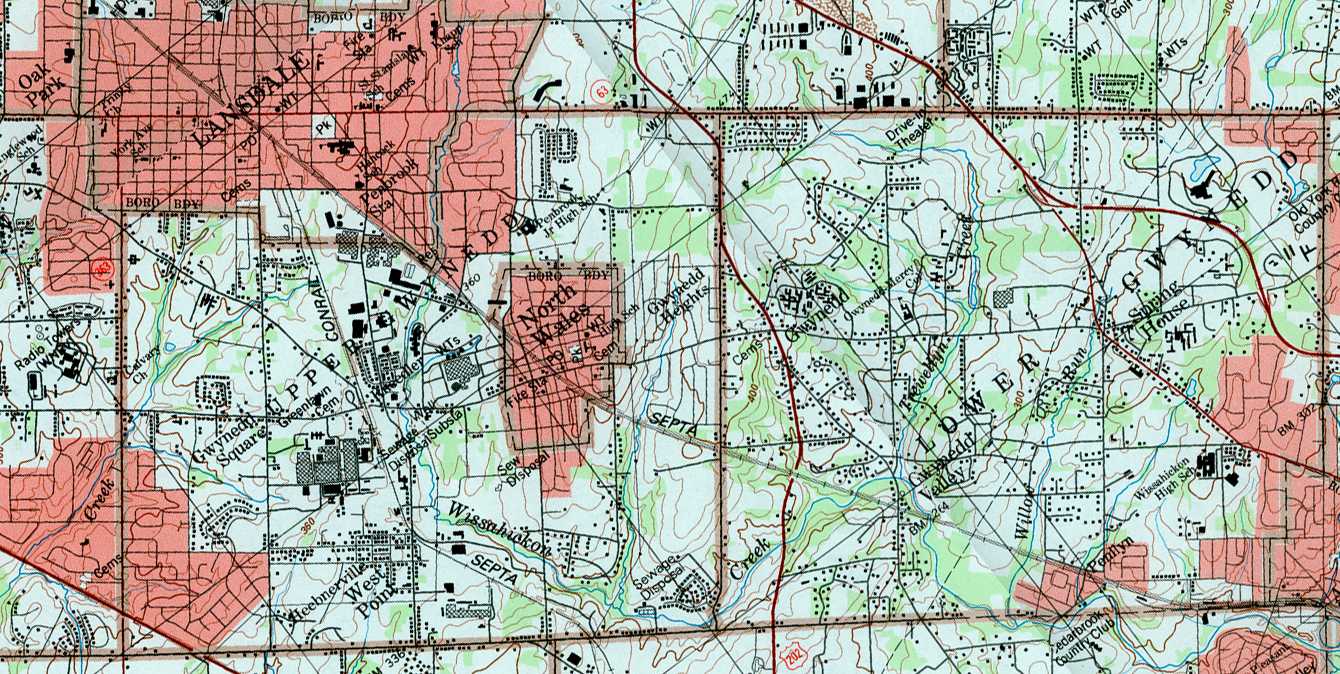
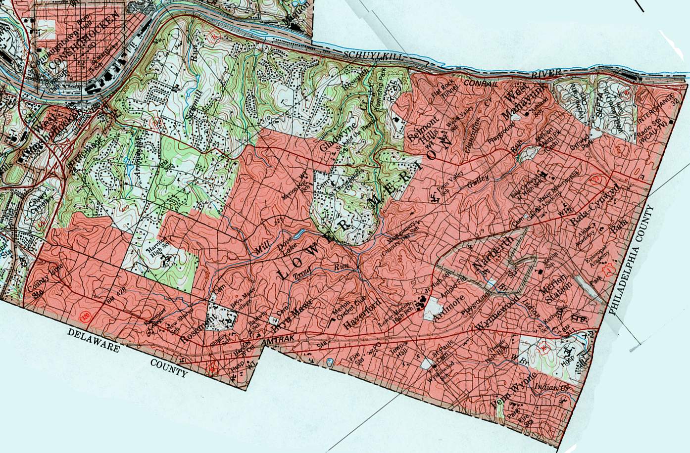
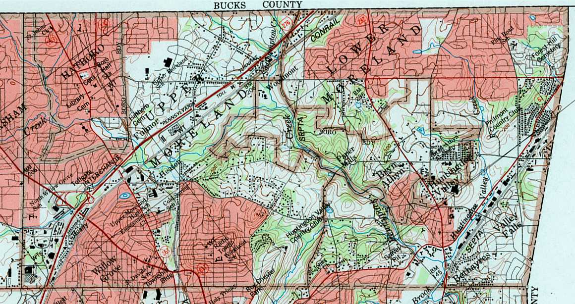
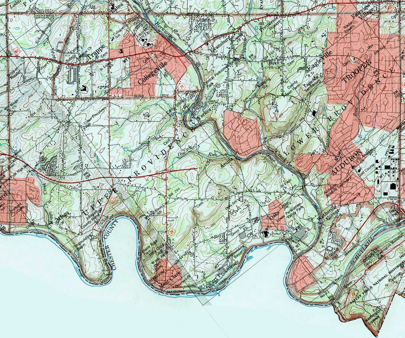
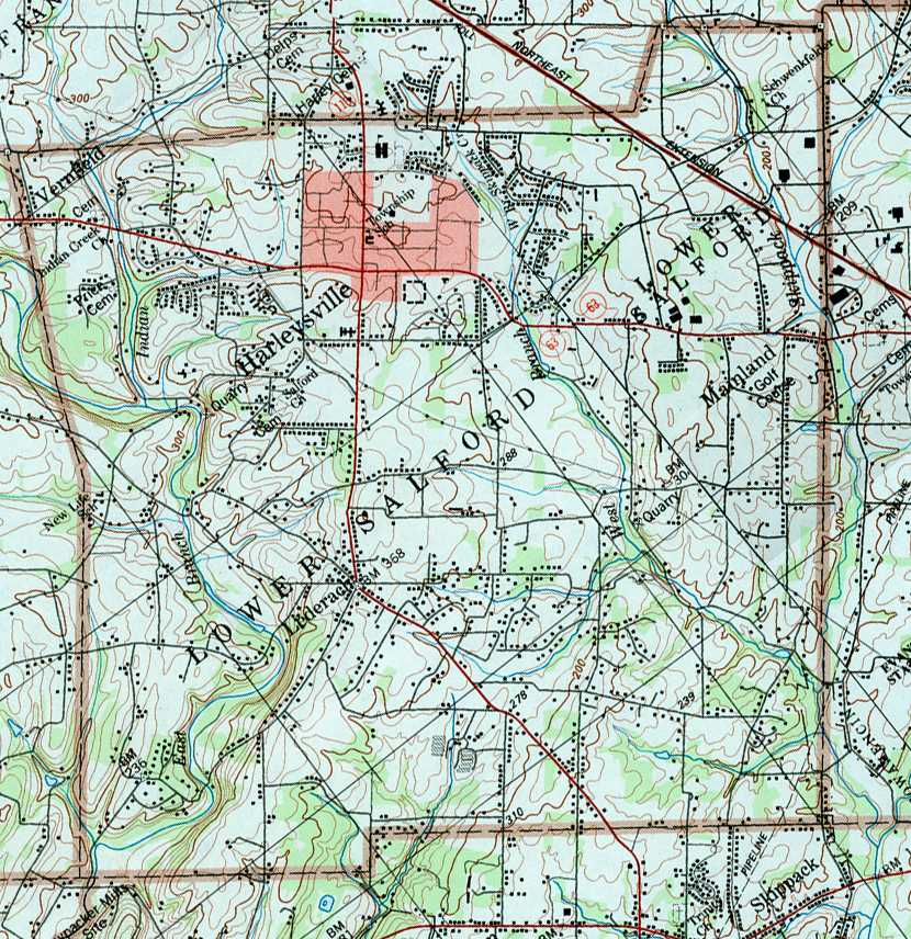
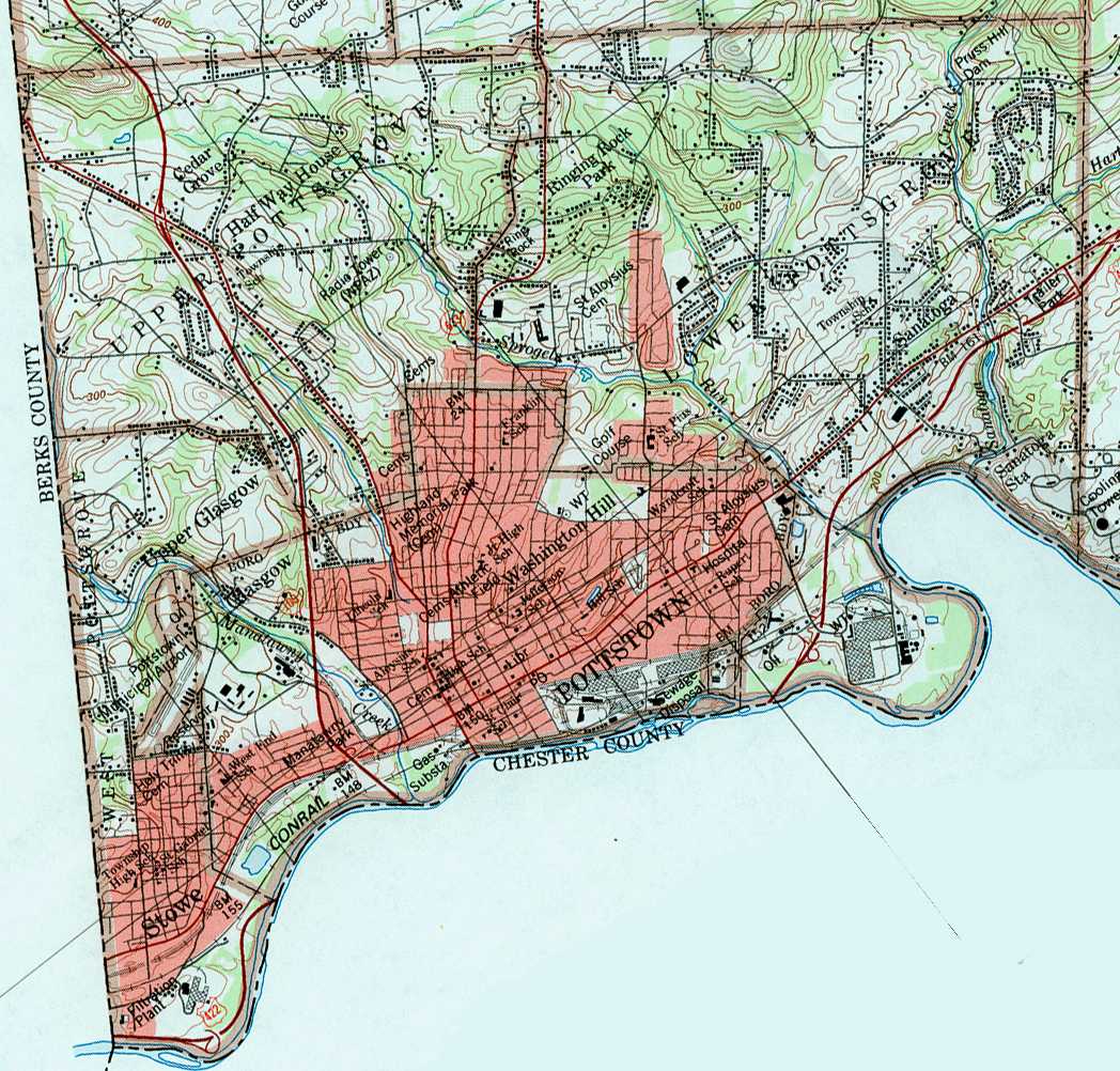
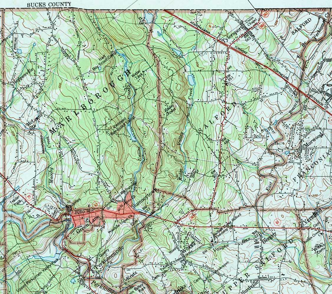
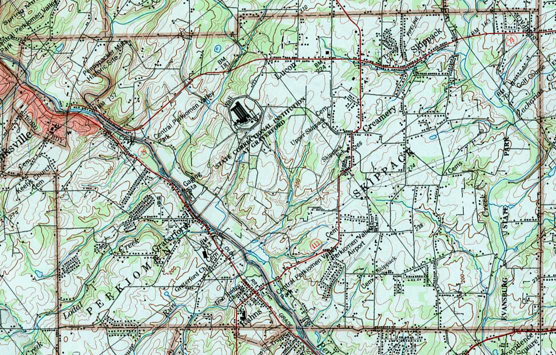
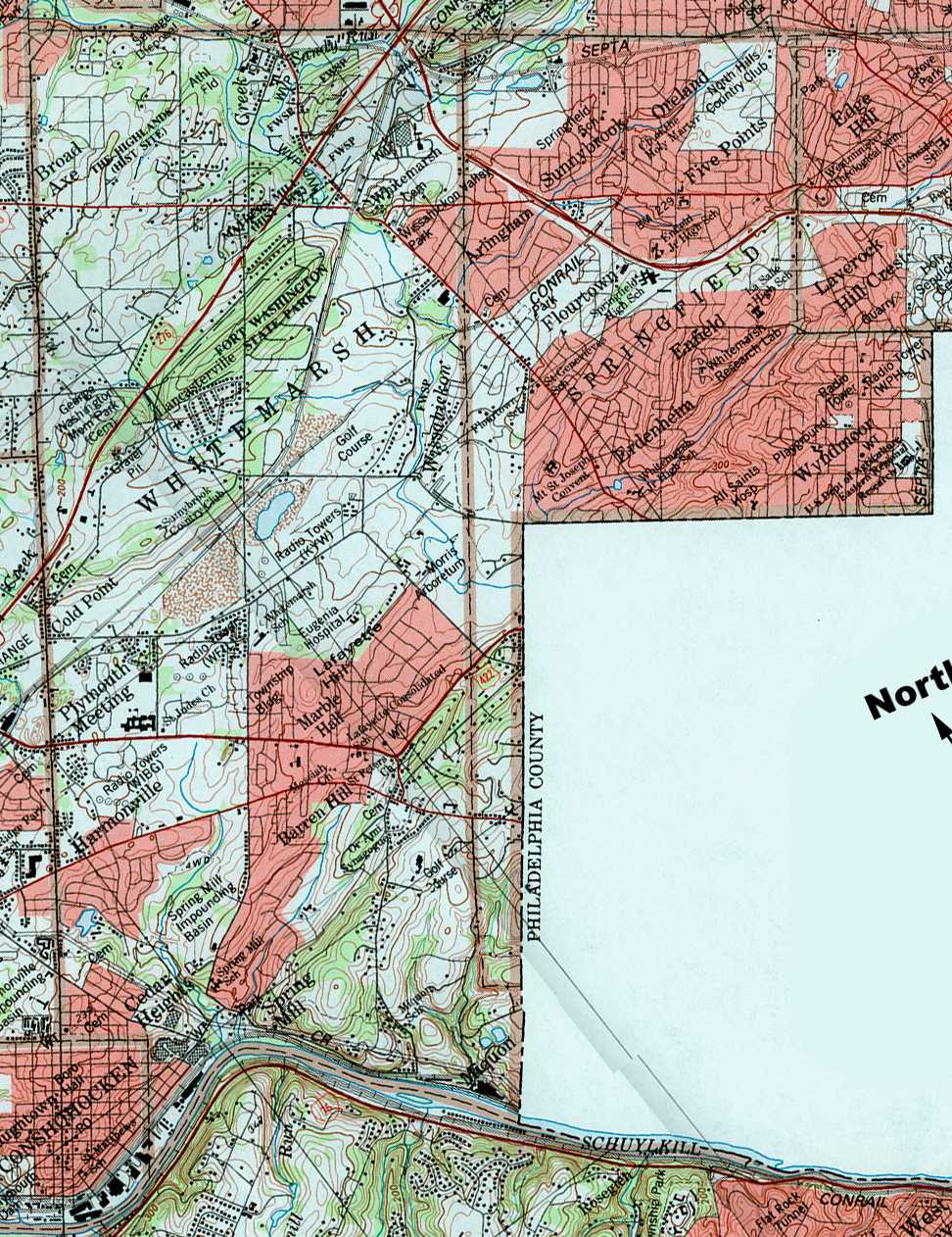
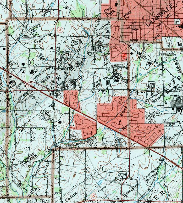
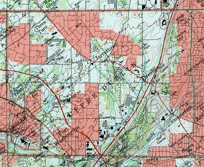
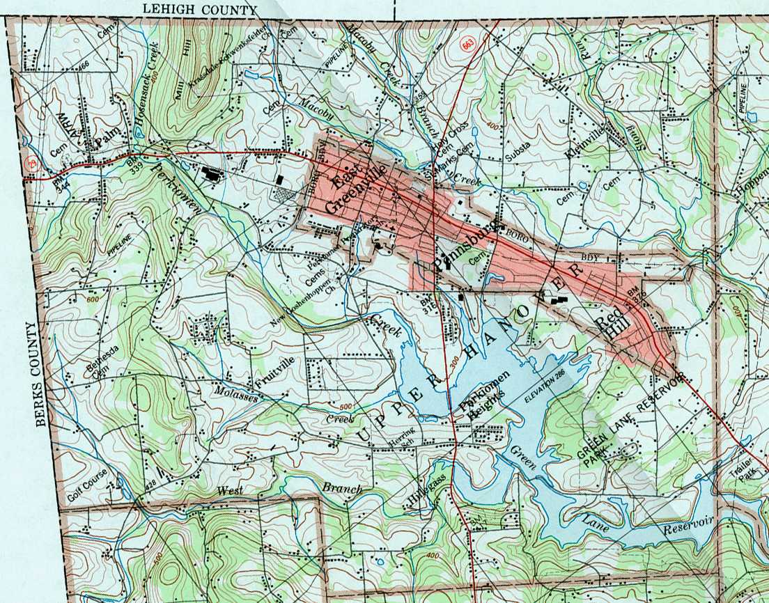
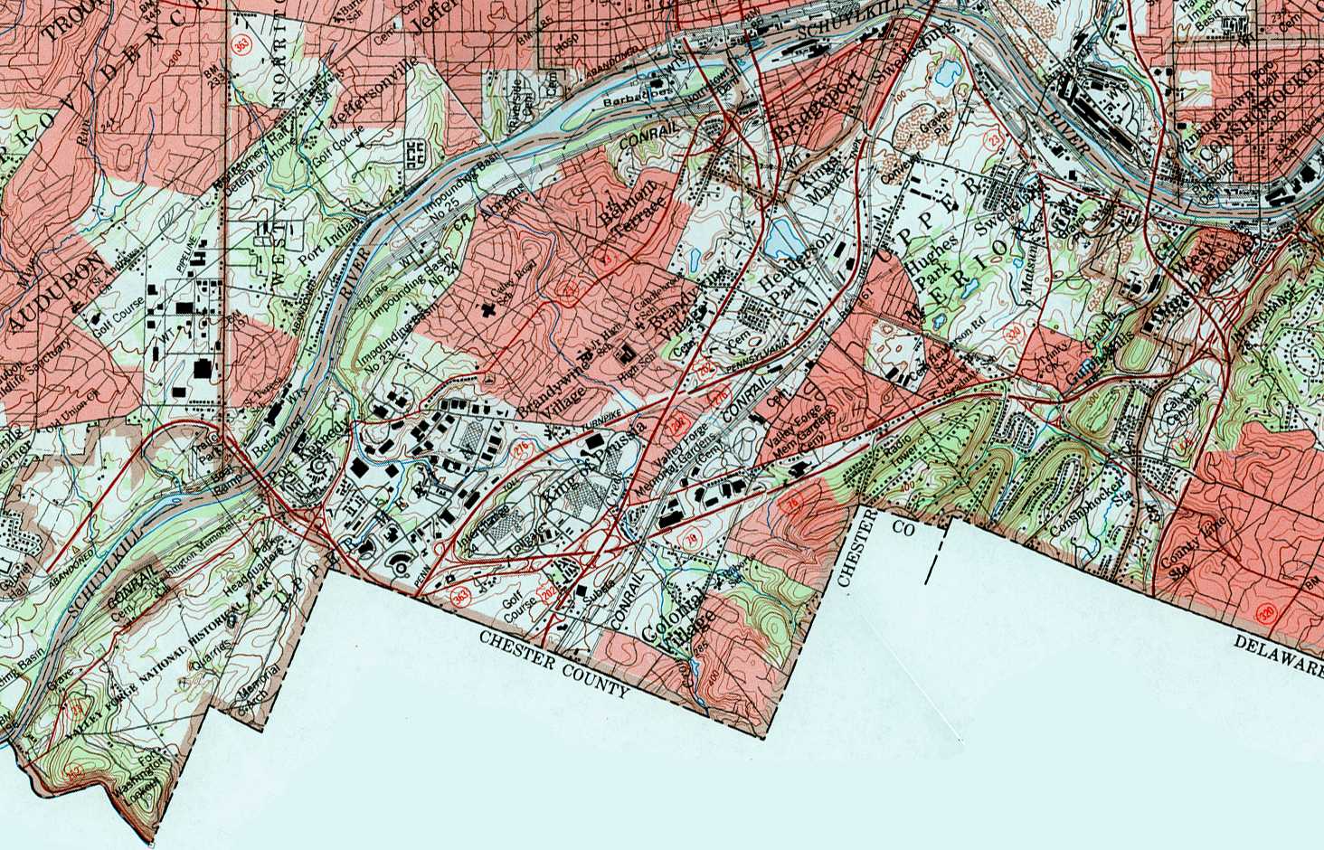
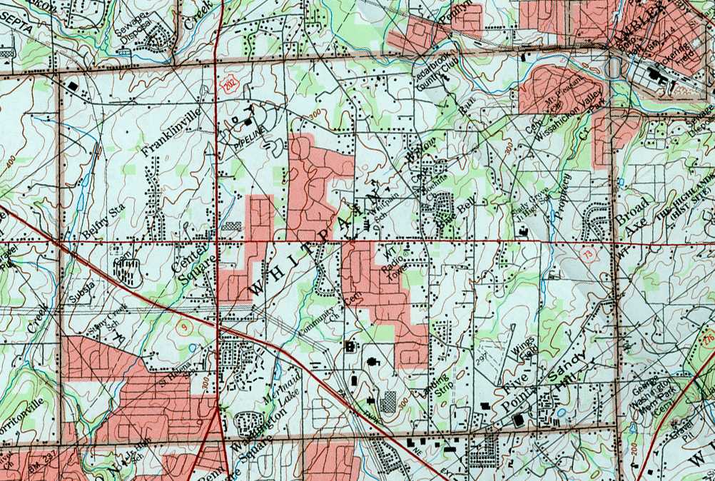
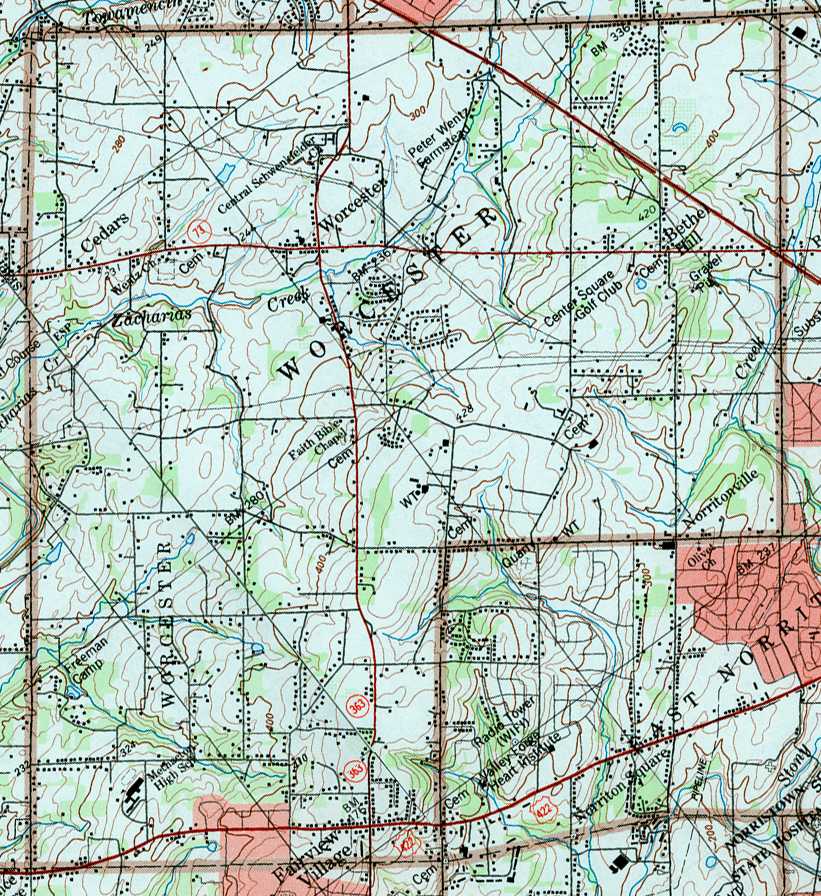
Image Map: This is a clickable image map of townships and boroughs in Montgomery County Pennsylvania. A text list of the township maps is shown below. The township images are cropped from a 1/50,000 USGS Geological Survey Map of Montgomery County dated 1984; based on 1/24,000 maps dated 1973 through 1983. Adjacent counties shown on the image map have active links to their USGS maps. Note that some townships are combined into one image. The orientation of the image map below AND the USGS township maps have been rotated about 38° counter-clockwise.
County Genealogy Sites: There are links to Pennsylvania county USGenWeb sites at the bottom of the Pennsylvania Map Index page.
To see the whole county map in its true orientation click here (3,798 KB).