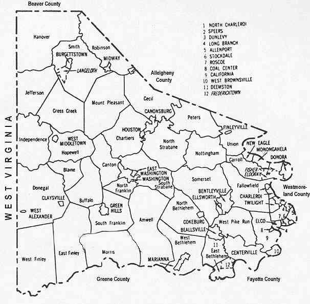
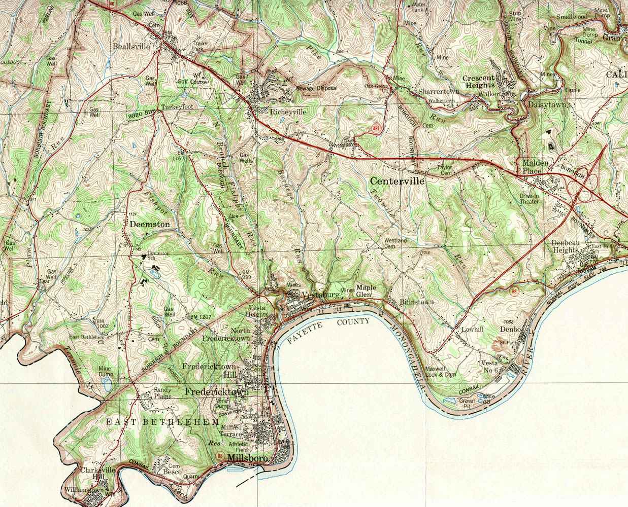
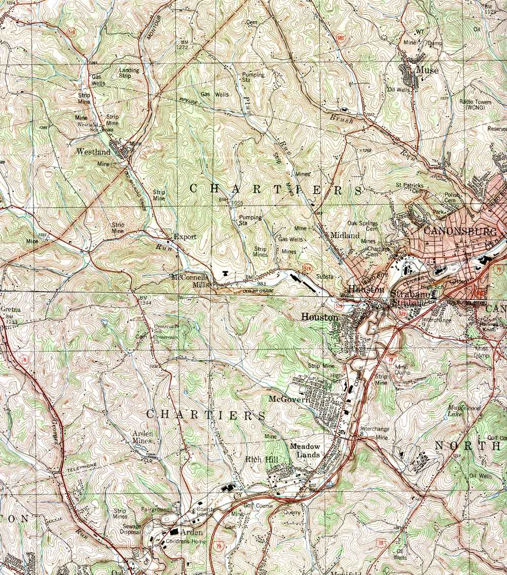
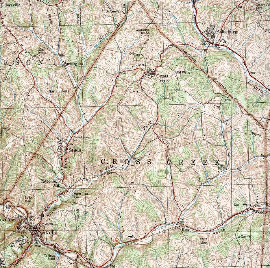
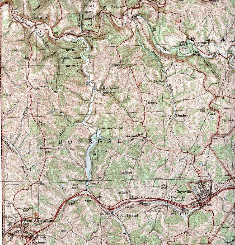
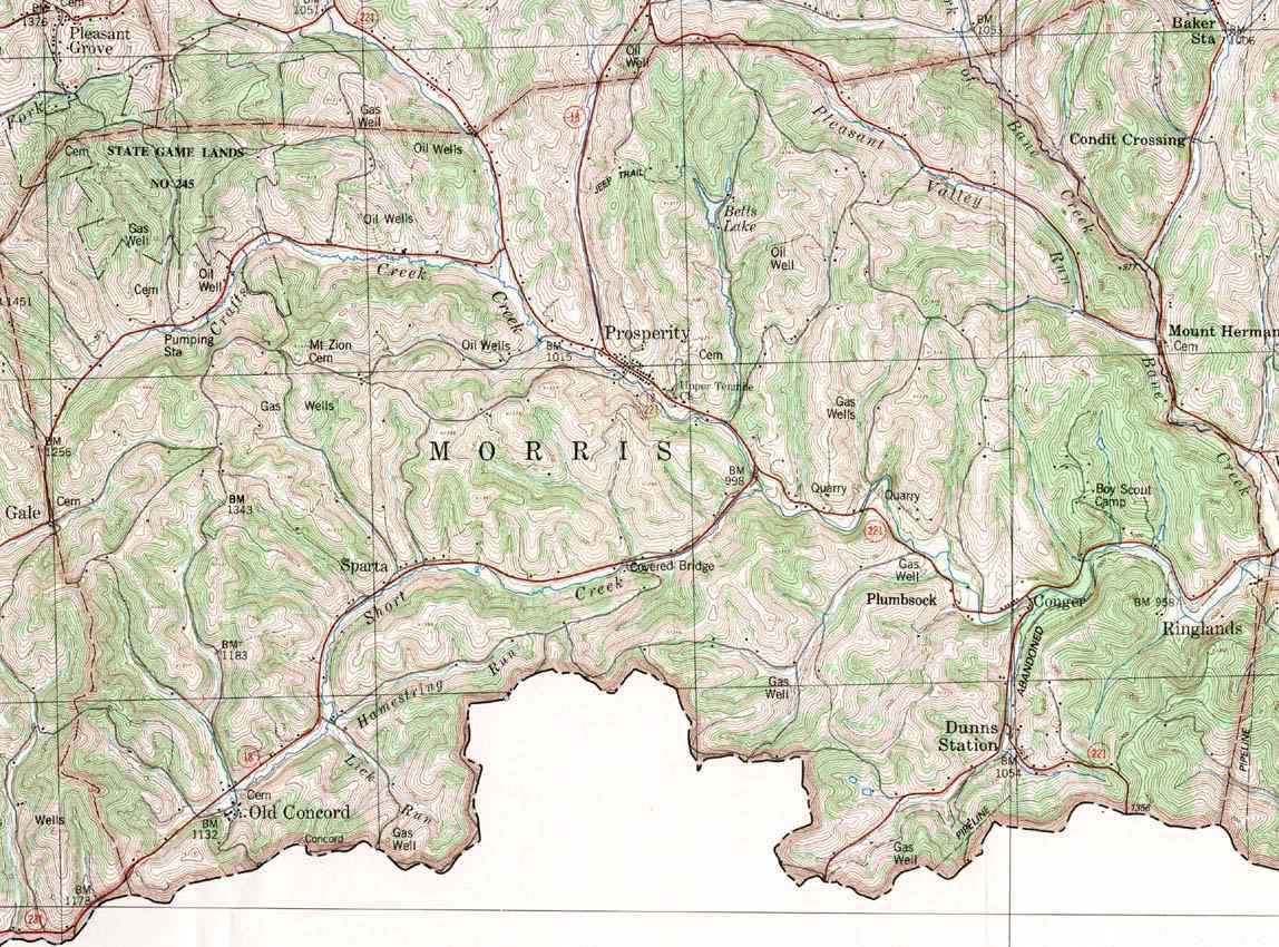
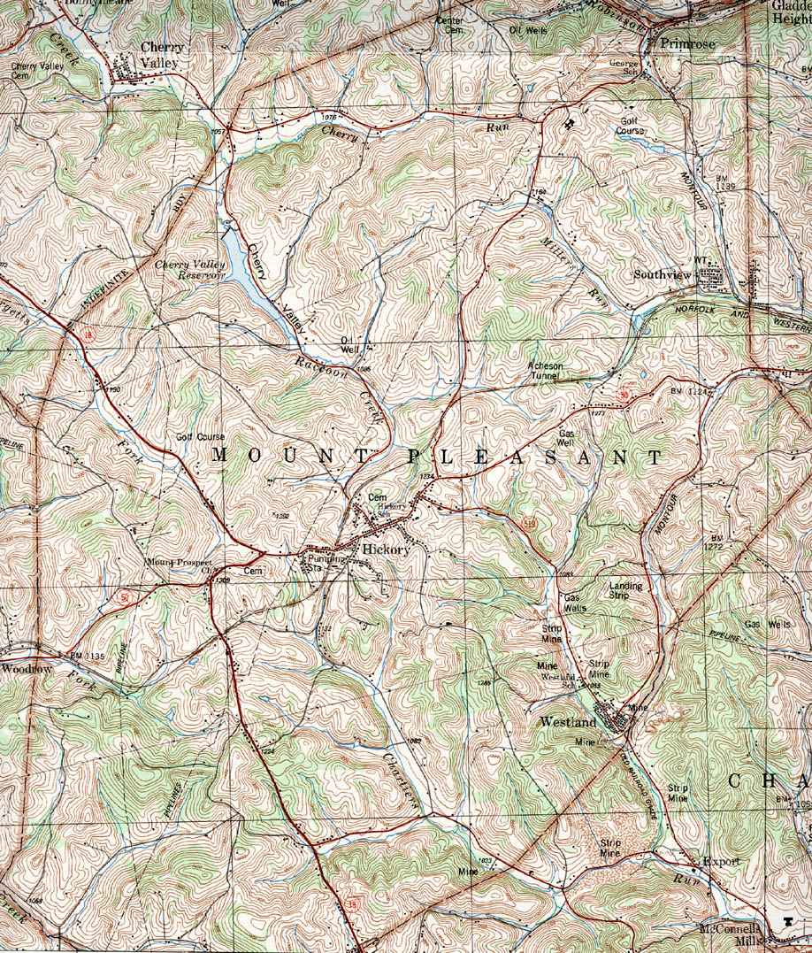
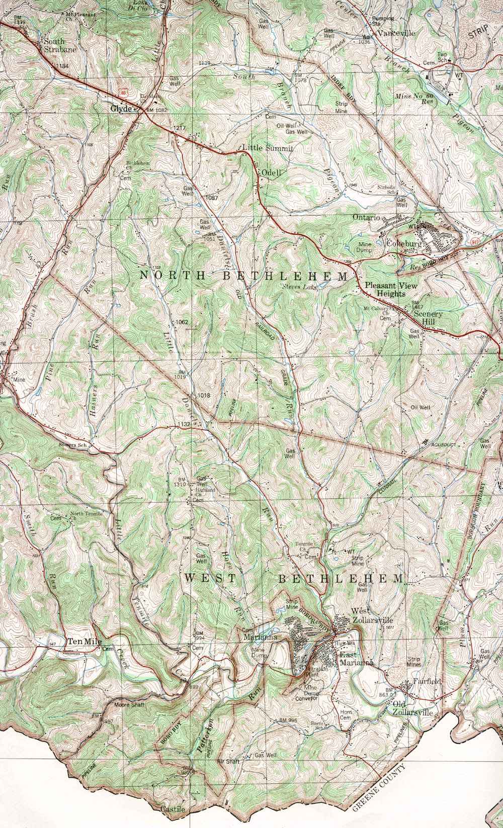
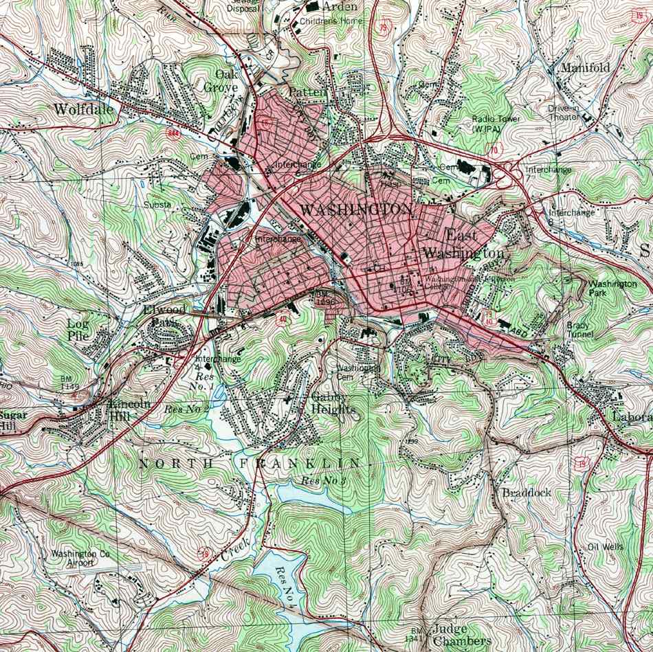
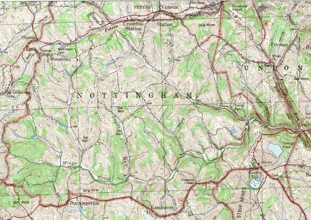
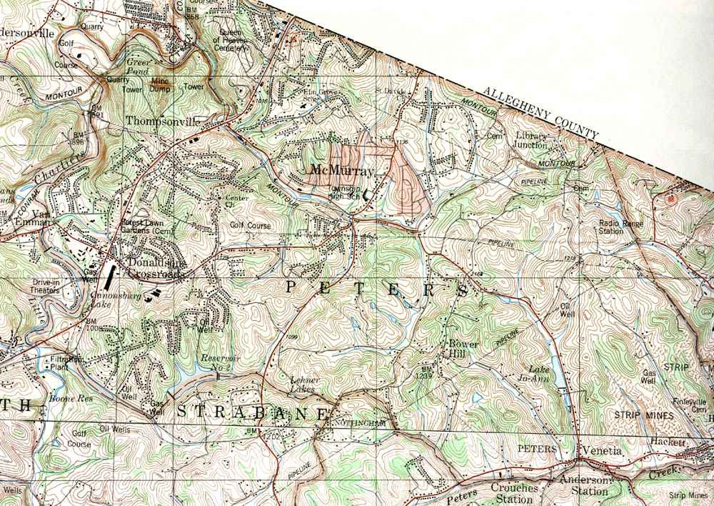
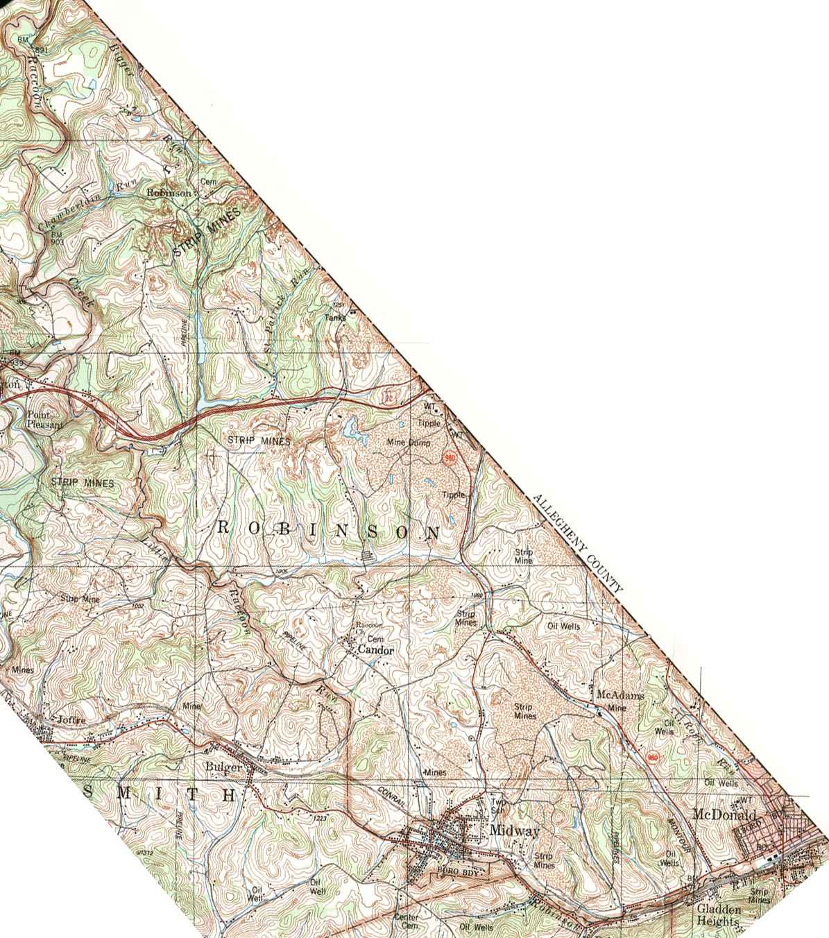
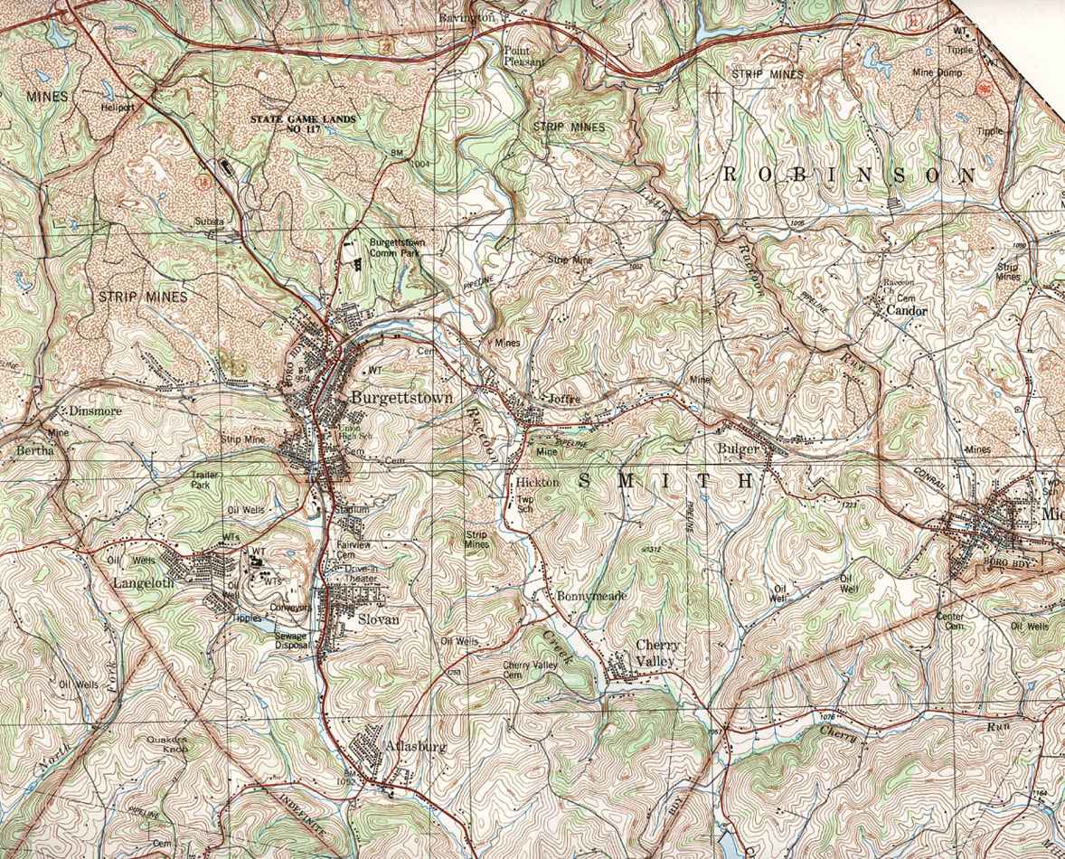
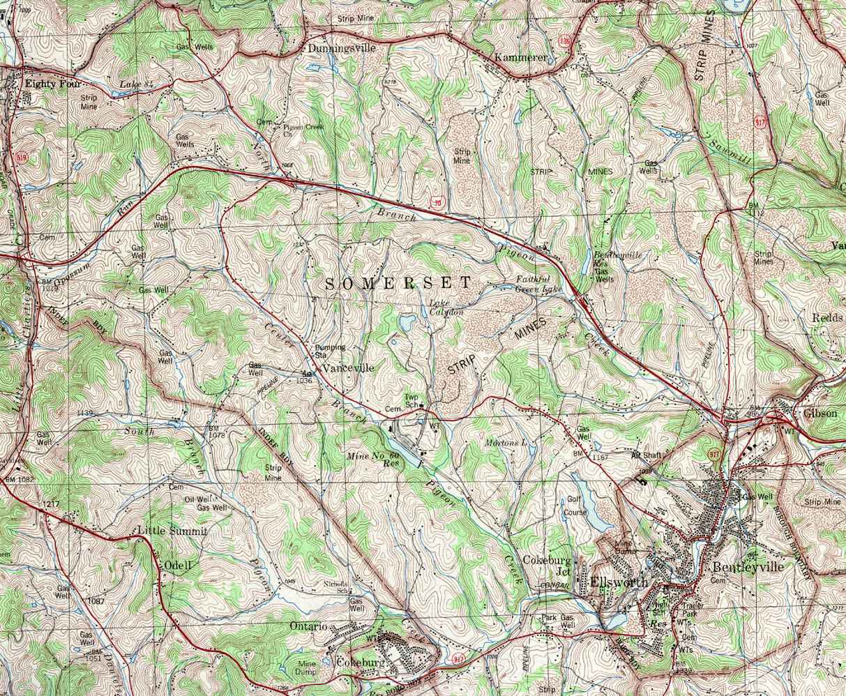
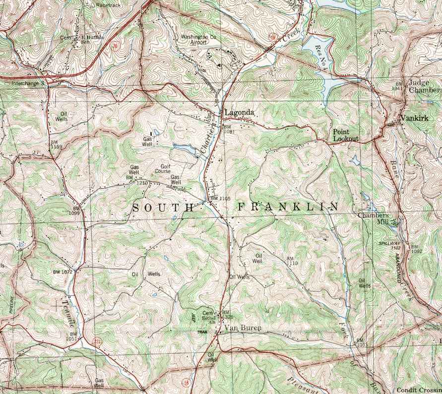
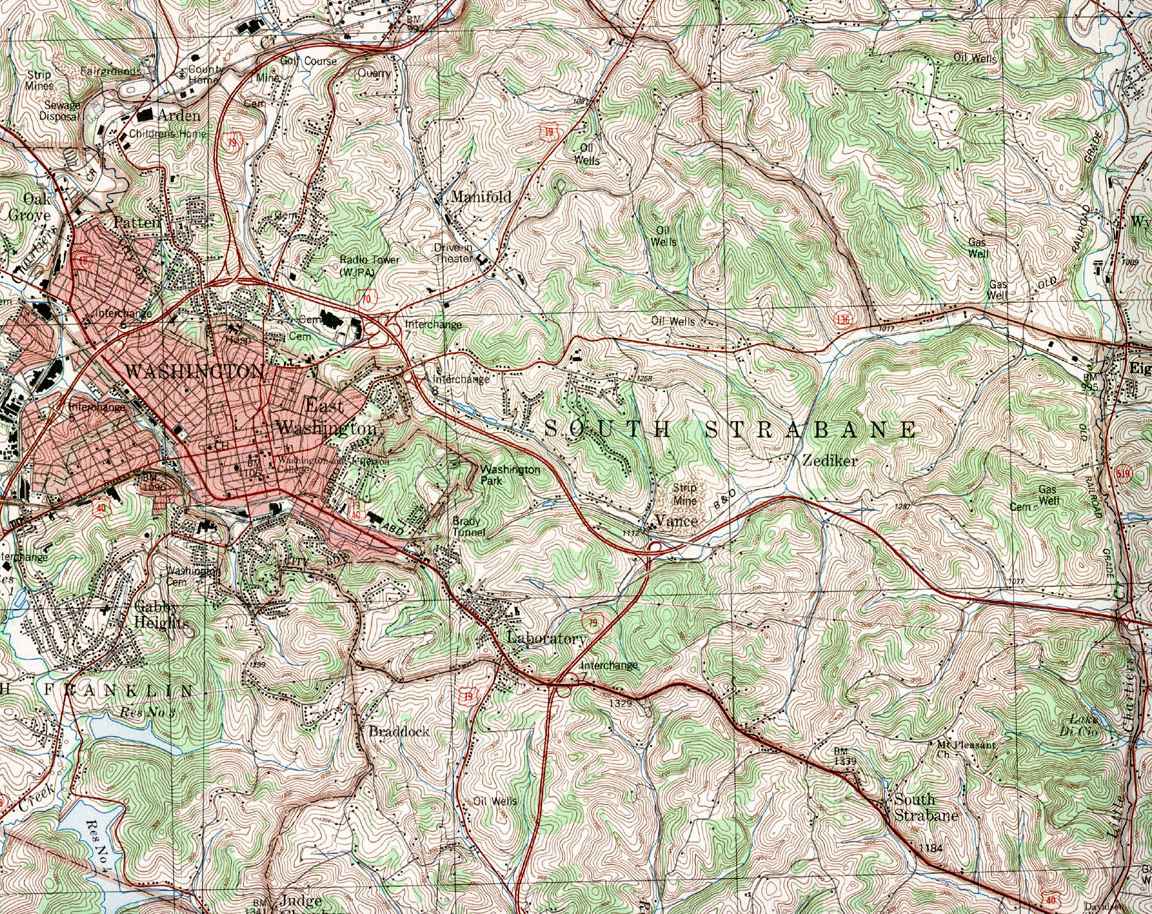
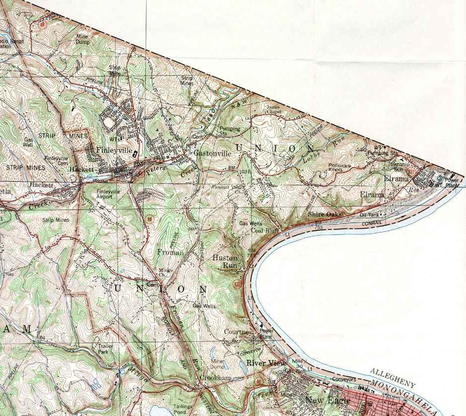
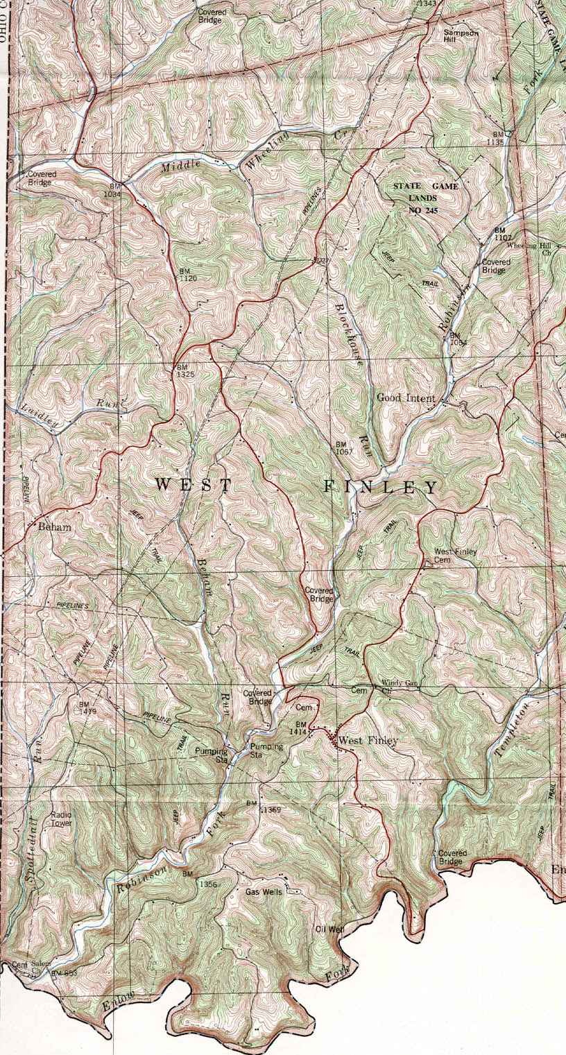
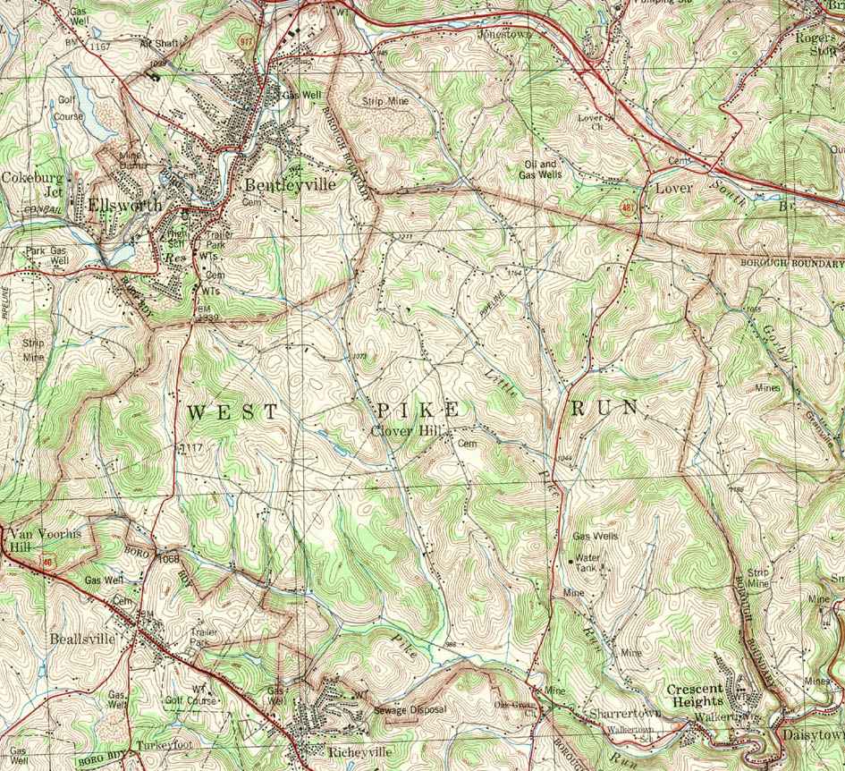
Image Map:
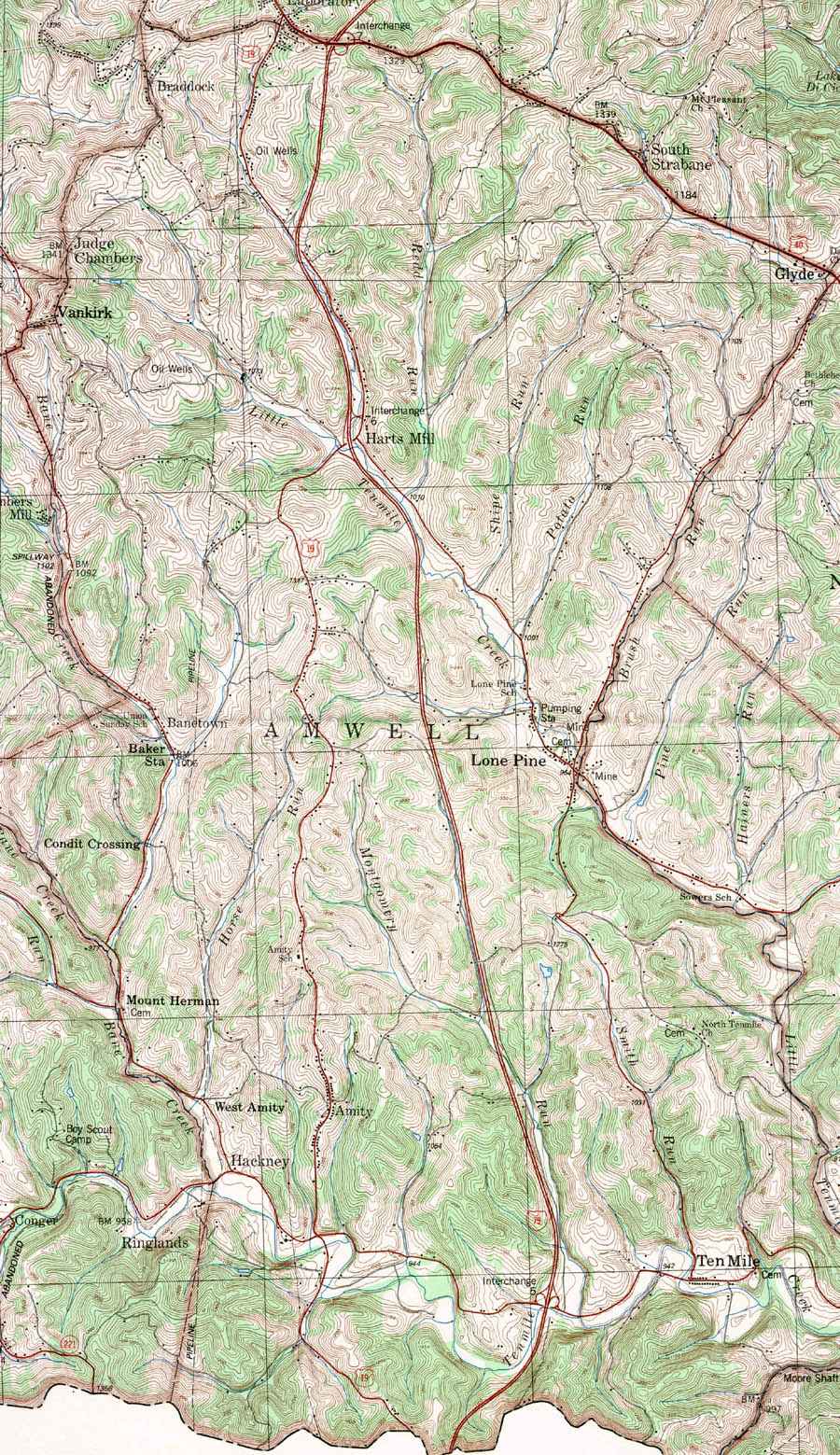
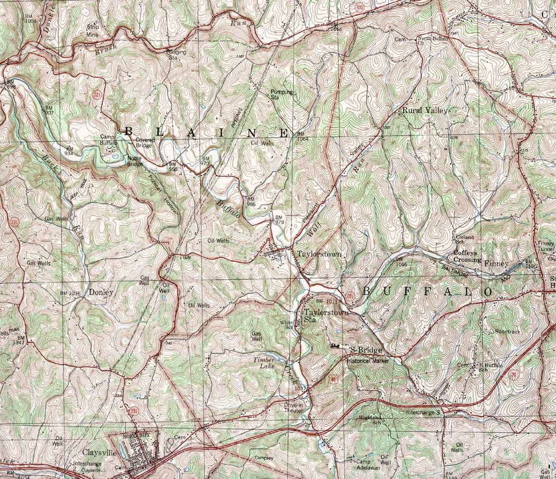
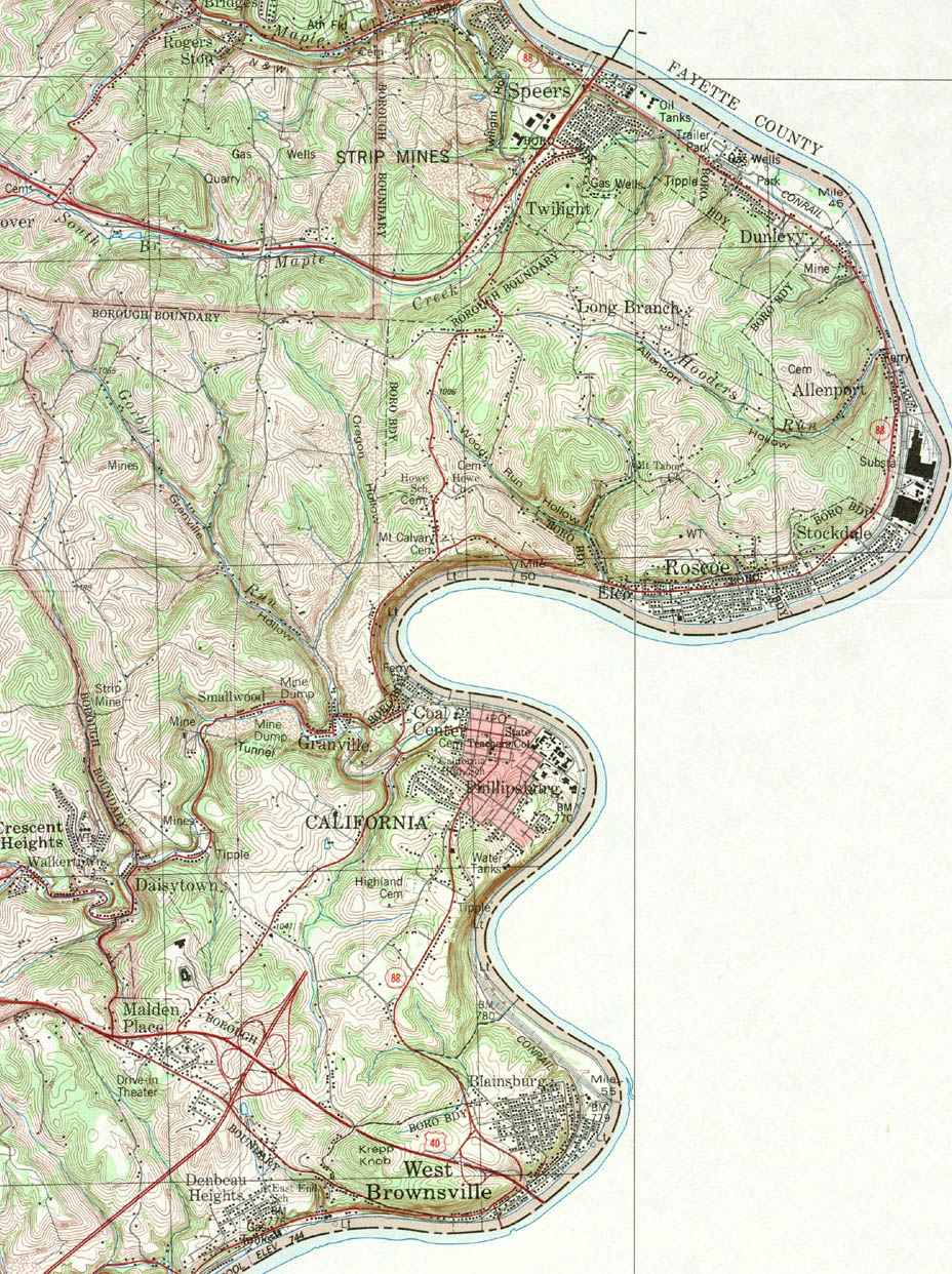
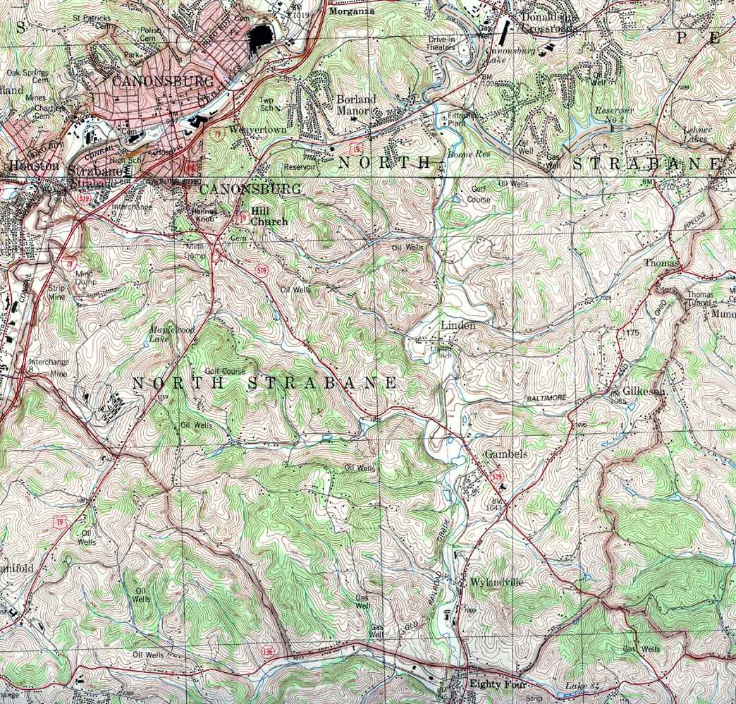
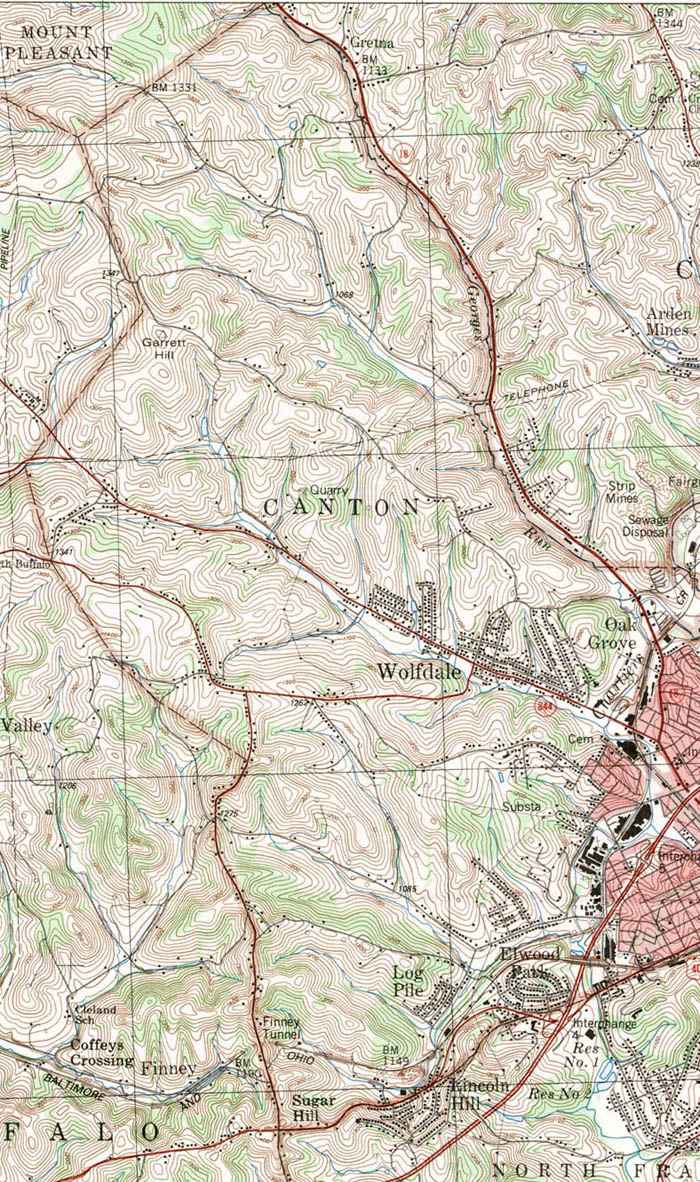
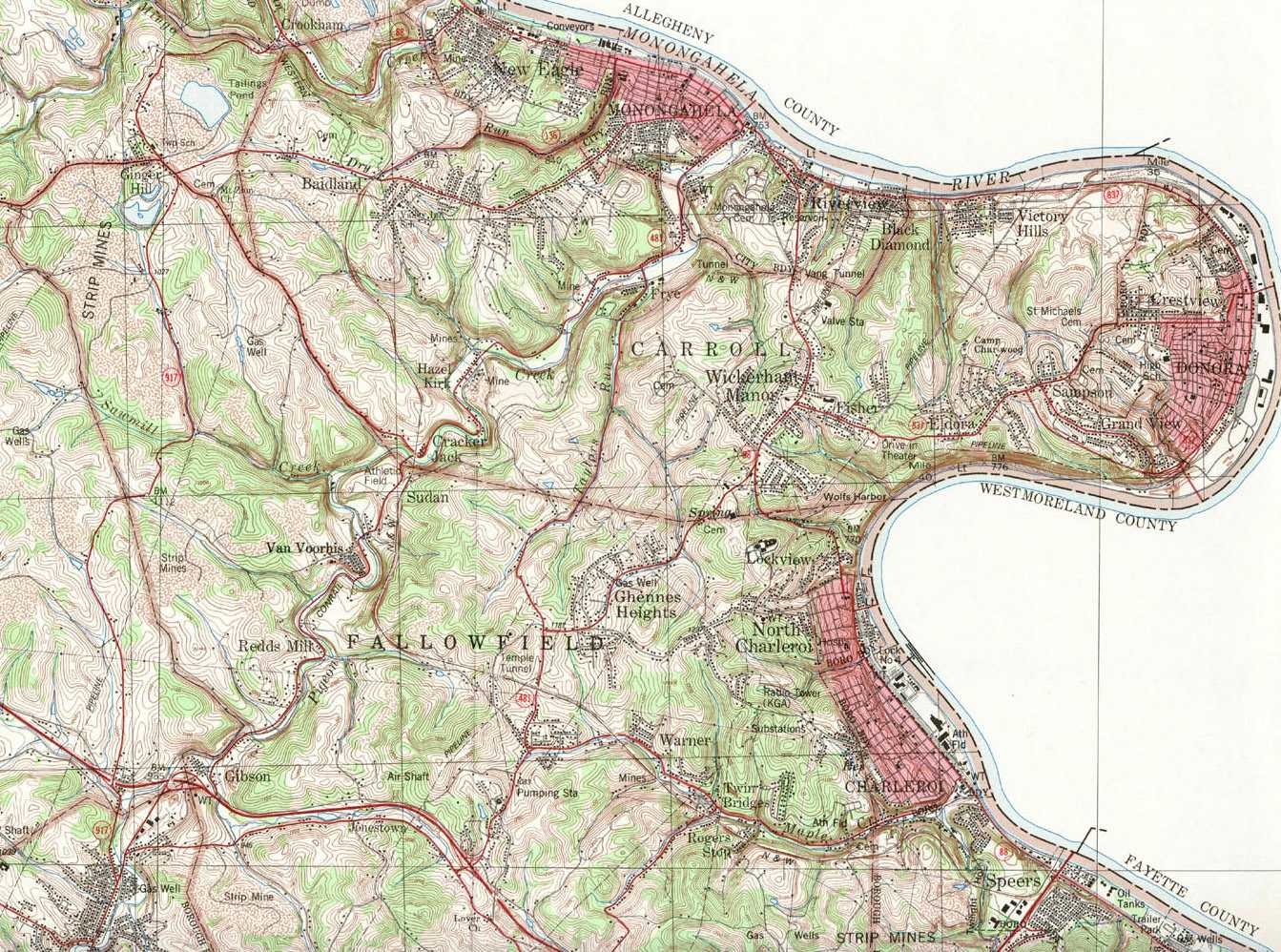
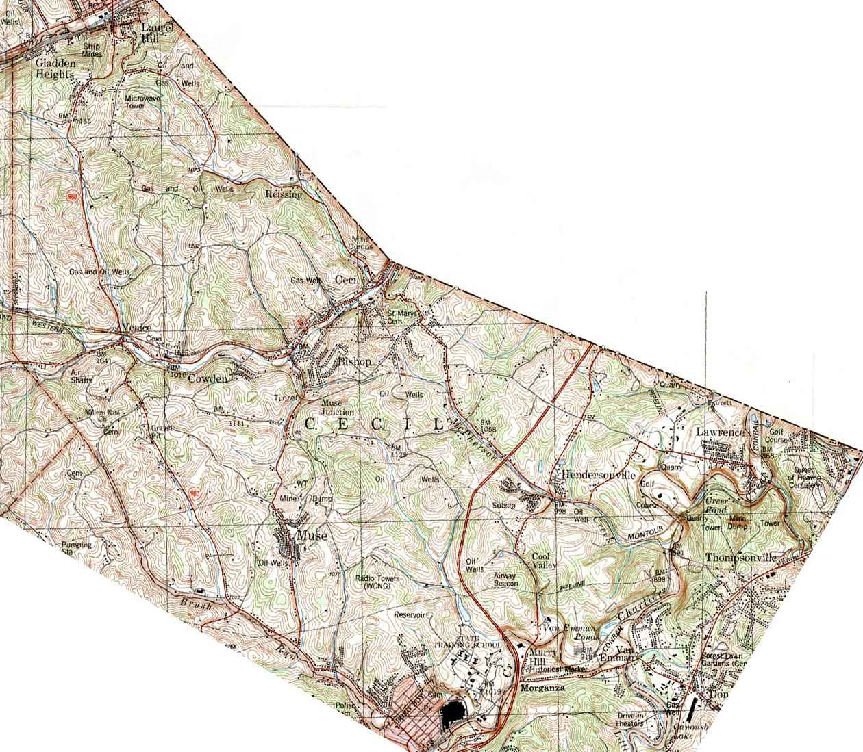
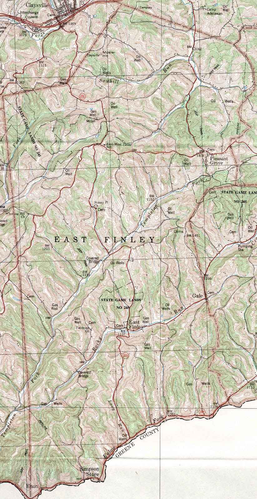
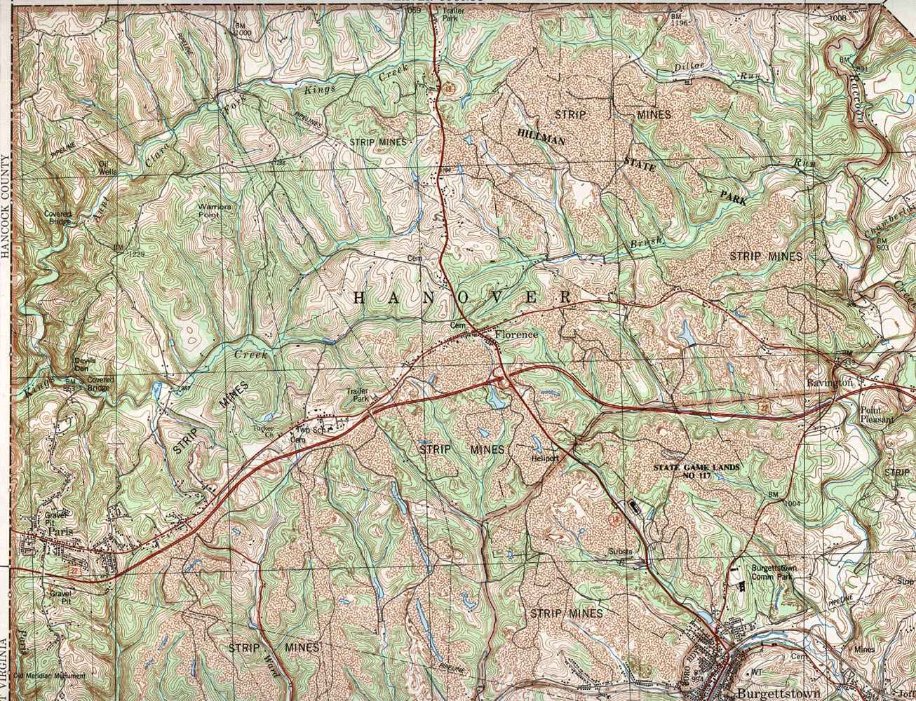
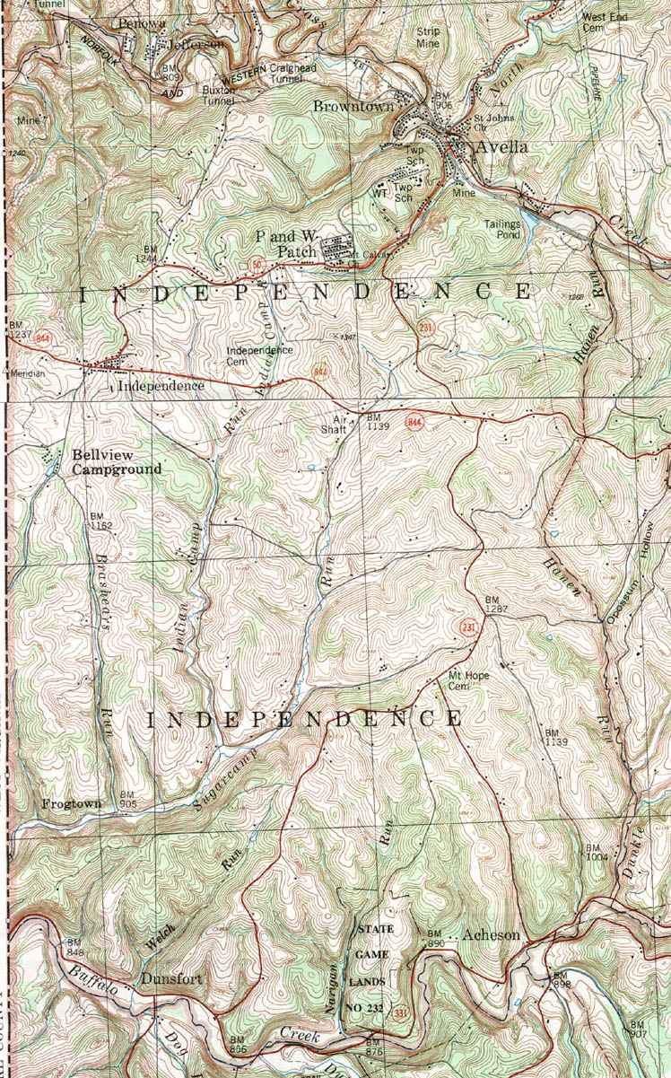
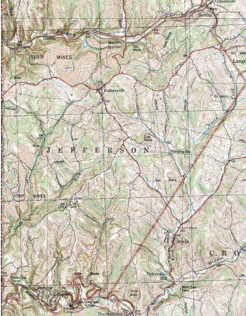
Click on the map or on the name of the township or borough shown below. The township maps are cropped from a 1/50,000 US Geological Survey Topographical Map of Washington County dated 1982. The 1/24,000 maps which are the basis of the county map are dated from 1953 to 1964. The adjacent counties shown on the image map are links to their USGS maps.
County Genealogy Sites:
Link to Pennsylvania county USGenWeb sites at the bottom of the Pennsylvania Map Index page.